Documentation
Find all documentation for users and developers on the below link:
Code
IASO is being developed by a community of 30 developers.
The development of IASO is lead by Bluesquare
Find all documentation for users and developers on the below link:
IASO is being developed by a community of 30 developers.
The development of IASO is lead by Bluesquare


Fragmentation creates a heavy burden on health systems and field workers. By aligning with the WHO toolkit for campaign digitalization, Bluesquare’s IASO platform enables the transition to integrated campaigns, allowing multiple health interventions to be managed through a single, georeferenced digital infrastructure
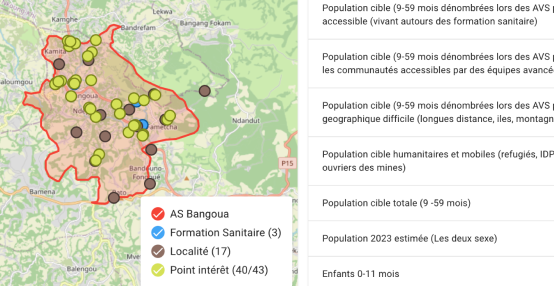
In Côte d’Ivoire, the 2025 Seasonal Malaria Chemoprevention (SMC) campaign illustrates how robust data products and end-to-end technical support can strengthen health service delivery for the population. Discover why IASO is a data collection and processing solution tailored to the operational challenges of the field.

Supporting people living with HIV relies on a critical requirement: having reliable, comprehensive, and accessible data. Yet in many contexts, this information remains fragmented, scattered across multiple systems, and difficult to use to inform strategic decision-making. With the introduction of an Active Patient File monitoring tool developed on the open-source IASO software, a major step has been taken to sustainably address this structural challenge.

IASO provides a comprehensive and flexible solution for agricultural data management. Its geospatially-enabled architecture, mobile data collection, traceability features and integration capabilities make it well-suited to meet the evolving requirements of agricultural markets and regulatory frameworks.
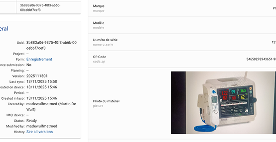
IASO can be used to create a complete and up-to-date registry of medical equipment. This tool makes it possible to record, track, and analyze all events related to each device. With its flexible data model, mobile application, and configurable workflows, IASO offers an adaptable solution for inventory, maintenance, planning, and oversight of medical equipment—at both local and national levels.
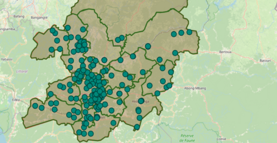
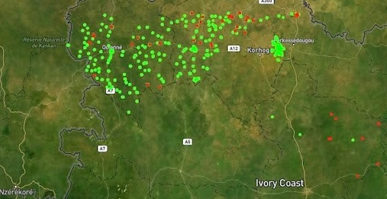
Along with its form-based approach to data collection, IASO has an advanced geospatial data management allowing for decentralization of responsibilities and task planning according to geography, as well as powerful map-based visualizations.
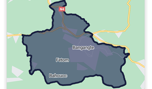
In fields like public health, access to comprehensive geographic data is crucial for designing targeted and effective interventions. That’s exactly the need Bluesquare set out to meet with IASO, its geographic data management platform now rolled out in 14 countries. Let’s dive into the 5 essential features that make IASO a go-to georegistry solution.
Fill out the information below to create a IASO demo account. You will receive an email with temporary credentials.

