Why is the georegistry driving health system transformation in Benin?
A high-performing georegistry does more than list points on a map. It ensures that every health facility is properly identified, geolocated, and synchronized with national management tools.
Consolidating the Master Facility List for a single source of truth
The project in Benin demonstrated the importance of a robust Master Facility List (MFL). By using IASO, health authorities were able to centralize infrastructure data, eliminating duplicates and data entry errors that often undermine planning. This reliability is essential for efficient allocation of resources and medicines.
Ensuring interoperability with Benin’s national DHIS2
One of the initiative’s major achievements lies in IASO’s ability to communicate with DHIS2. To date, the georegistry is recognized as the most comprehensive and up-to-date database of health facilities in Benin. It serves as the reference source to which most stakeholders turn for reliable and harmonized information.
The project’s ambition was to make this georegistry an interoperable master source, capable of automatically feeding the national DHIS2 (and potentially other sectoral databases) to ensure continuous updates of the SNIGS. However, the project’s premature termination did not allow for the full implementation of this interoperability, which remains today a strategic perspective rather than an operational reality.
From field to dashboard: data serving decision-making
The strength of the solution deployed in Benin lies in its ability to transform raw field data into strategic indicators that decision-makers can easily interpret.
High-precision geospatial data collection
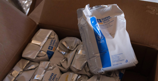
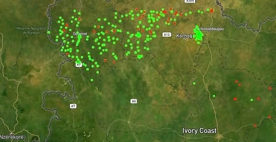
Thanks to the IASO mobile application, field agents were able to georeference facilities with increased accuracy. Unlike paper-based methods or non-integrated tools, IASO enables real-time validation of GPS coordinates and facility attributes (level within the health pyramid, services offered, infrastructure condition, human resources). This rigor at the source is a sine qua non condition for a reliable health map.
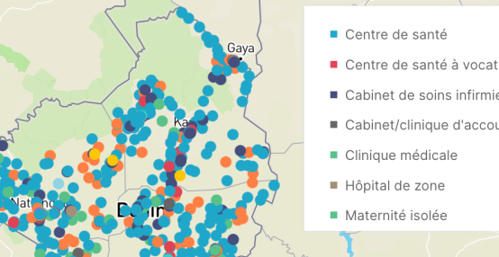
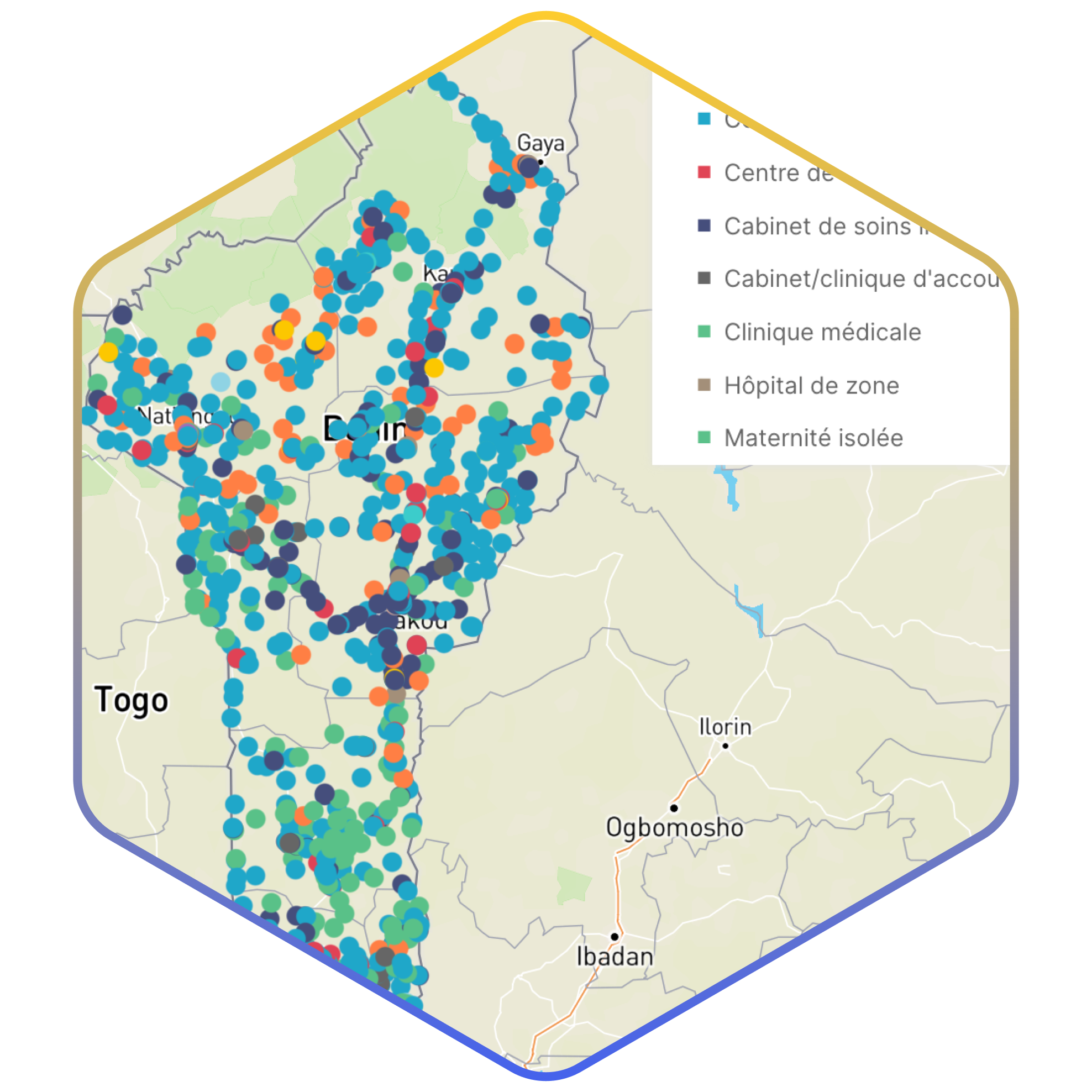
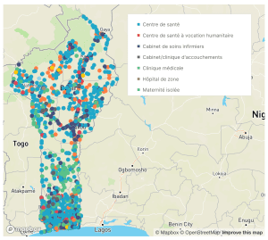 Health map of Benin, view from the OpenHEXA dashboard – Provisional results
Advanced visualization with Apache Superset and Dataviz
The project reached a crucial milestone by making data accessible through modern visualization tools.
- The public Superset dashboard enables granular analysis of health indicators on the OpenHEXA platform.
- The historical Dataviz portal, the first prototype of this ambition, illustrates the progress made toward full health data transparency.
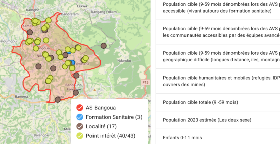
These interfaces allow decision-makers as well as technical and financial partners to instantly visualize healthcare supply and identify underserved areas or infrastructure redundancies.
Ensuring the sustainability of the georegistry: a matter of health sovereignty
The experience in Benin highlights a major challenge for health systems: digital continuity. Although external funding may fluctuate, the infrastructure established with IASO provides a sustainable technological foundation.
Why invest in a sustainable georegistry?
A georegistry is foundational infrastructure for digital health. Maintaining this “backbone” makes it possible to:
- Reduce the cost of future field surveys by building on an already structured database.
- Improve crisis response by immediately locating service delivery points.
- Strengthen national governance through ownership of geospatial data.
IASO: a scalable tool for future challenges
Beyond a simple facility list, IASO’s functionalities enable expanded use cases, such as logistics stock monitoring or health workforce management. By relying on open standards, IASO ensures that countries retain ownership of their data ecosystem, regardless of funding cycles.
Want to learn more about IASO? Contact us