Latest about IASO
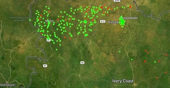
In Côte d’Ivoire, the 2025 Seasonal Malaria Chemoprevention (SMC) campaign illustrates how robust data products and end-to-end technical support can strengthen health service delivery for the population. Discover why IASO is a data collection and processing solution tailored to the operational challenges of the field.
Supporting people living with HIV relies on a critical requirement: having reliable, comprehensive, and accessible data. Yet in many contexts, this information remains fragmented, scattered across multiple systems, and difficult to use to inform strategic decision-making. With the introduction of an Active Patient File monitoring tool developed on the open-source IASO software, a major step has been taken to sustainably address this structural challenge.

IASO provides a comprehensive and flexible solution for agricultural data management. Its geospatially-enabled architecture, mobile data collection, traceability features and integration capabilities make it well-suited to meet the evolving requirements of agricultural markets and regulatory frameworks.
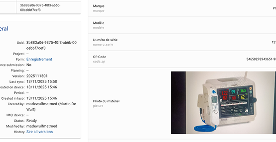
IASO can be used to create a complete and up-to-date registry of medical equipment. This tool makes it possible to record, track, and analyze all events related to each device. With its flexible data model, mobile application, and configurable workflows, IASO offers an adaptable solution for inventory, maintenance, planning, and oversight of medical equipment—at both local and national levels.
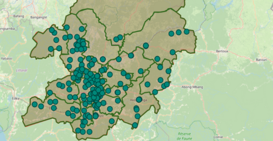
Along with its form-based approach to data collection, IASO has an advanced geospatial data management allowing for decentralization of responsibilities and task planning according to geography, as well as powerful map-based visualizations.

As part of the implementation of Programmatic Budgets (Annual Action Plans – PAA), managing and submitting supporting documents can pose significant challenges for ensuring the continuity of disbursements. Discover how, in Niger, the digital tool IASO offers a concrete solution by facilitating the collection, transmission, and transparency of these documents.
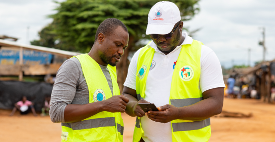
As the effectiveness of health campaigns becomes increasingly critical, digital tools are playing a key role in optimizing their planning, monitoring, and impact.
Today, a wide range of digital solutions is available, making it challenging for health program managers to compare them and make informed, context-appropriate decisions.
That’s why UNICEF has developed a comparative guide to existing solutions — and IASO, Bluesquare’s open-source tool for planning and monitoring health campaigns, is among them.
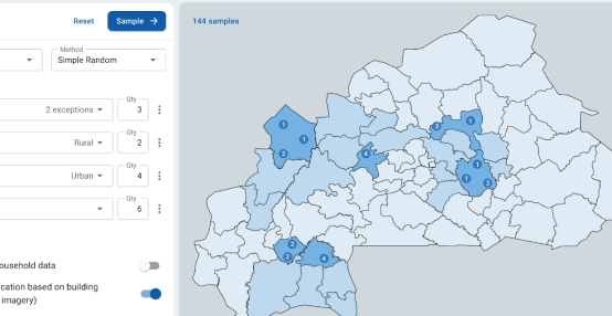
Independent monitoring of public health campaigns is essential to ensure optimal coverage and the achievement of defined objectives. It helps assess the effectiveness of implemented strategies and identify any necessary adjustments. Bluesquare offers stakeholders a tailored digital tool: IASO.
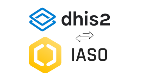
DHIS2 is the world’s most widely used platform for national health information systems. IASO builds on its foundation and adds agility, field-level precision, and advanced workflows needed for complex operational contexts. Learn more about the differences and complementarities of these two platforms.
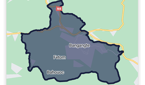
In fields like public health, access to comprehensive geographic data is crucial for designing targeted and effective interventions. That’s exactly the need Bluesquare set out to meet with IASO, its geographic data management platform now rolled out in 14 countries. Let’s dive into the 5 essential features that make IASO a go-to georegistry solution.


